
How to Search Ceredo Property Records
Begin with the Wayne County Assessor's statewide search. Enter a Ceredo situs address or a parcel number. When an assessment card appears, check its owner and parcel fields against the County Clerk's deed index, review the Sheriff Tax Bureau account for billing status, and pull up the statewide parcel map for location context. Ceredo is its own municipality. The core property records still sit with the county. Municipal permit records take a separate inquiry, because the town publishes no searchable online permit-results system.
- Open MapWV Assessment, choose Wayne County, and search by address or owner.
- Write down the district, map, parcel, and suffix components from the result.
- Search the County Clerk Document Inquiry for the instrument that conveys the same legal description.
- Review the Sheriff Tax Bureau account and orient the parcel in the statewide viewer.
- Ask Ceredo directly about municipal zoning or permit files; ask Wayne County about county building or floodplain permit requirements.
Two pages make the process easier. The Wayne County property-search guide covers address, owner, and parcel searches. The deed-record page shows how to follow a legal description when Ceredo street naming or an older tract reference refuses to match a modern address.
Where Ceredo Property Records Are Kept
The Wayne County Clerk indexes deeds and every other recorded instrument affecting Ceredo parcels. The Assessor maintains ownership and appraisal fields. The Sheriff Tax Bureau handles tax accounts and payment status. For parcel mapping, West Virginia's statewide tools fill the gap. Ceredo keeps its own zoning, code, and municipal permit records apart from all of that. The town offers no public online permit lookup. A property owner should contact the municipal office directly and ask how those files are searched.
Wayne County Records (deeds, taxes, parcels)
County portals contain Ceredo parcels alongside the rest of Wayne County.
Ceredo Permits & Zoning
No searchable municipal permit-result portal was verified in the reviewed sources. Ask Ceredo's municipal office directly how to request zoning, code, and historic permit files.
County building-permit and floodplain questions go to Wayne County's permit office.
Ceredo's Founding Story and Older Property References
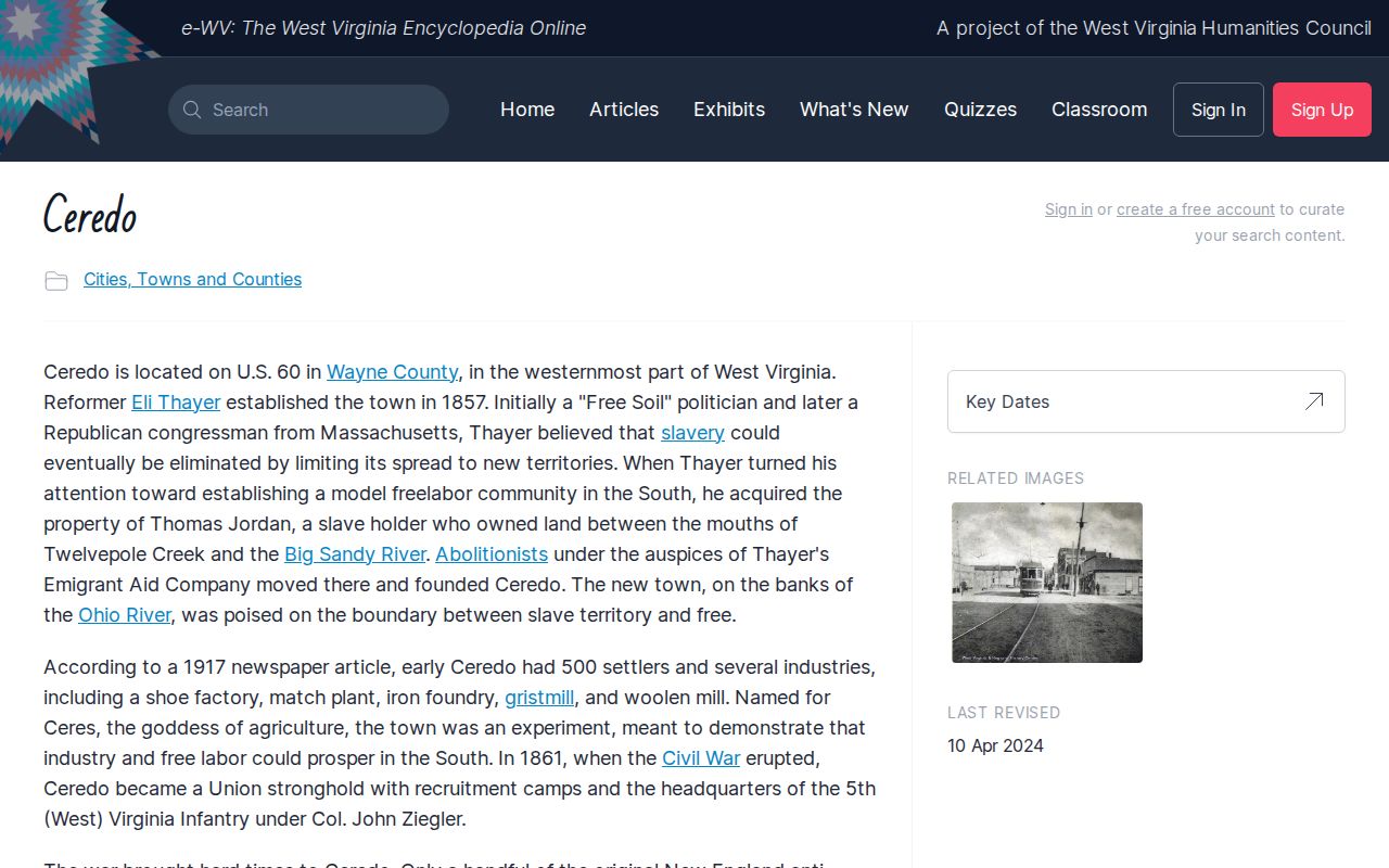
Ceredo was founded in 1857 as an anti-slavery settlement. It incorporated in 1866. That heritage is central to the town's identity, and it gives researchers a reason to read older conveyances closely, checking dates, grantors, and place descriptions. History still has limits. It cannot tell you which modern parcel matches a historic name. A chain of title rests on the recorded instrument's legal description, later transfers, and the county's parcel mapping. The e-WV Encyclopedia carries a dedicated Ceredo history entry. The encyclopedia's own page offers the full narrative of the settlement's origins. Keep that historic source separate from the legal record. An article can explain local context. It cannot transfer or certify title. Read the e-WV Ceredo history entry for background when you research older property documents.
Treat historical dates as leads, and verify every parcel connection in the deed or assessment record.
Ceredo Municipal Limits and Mailing Addresses
A Ceredo mailing address does not guarantee the property sits inside the municipality. The rule can differ for every local purpose. Postal city labels, ZIP delivery routes, assessor situs fields, and incorporated boundaries each serve a different purpose. No ZIP code belongs exclusively to Ceredo. Never infer municipal jurisdiction from a postal label alone. For zoning or permitting, identify the exact parcel first. Then ask the town to confirm whether it falls within Ceredo's limits. A parcel near the boundary deserves extra care. Use a current authoritative jurisdiction map, or get written confirmation from the municipality. A statewide viewer helps you locate property. It does not replace legal boundary evidence. Record the assessor ID, the deed reference, and the office's response. Do this whenever jurisdiction affects a project or purchase. Street addresses also shift over time as properties are renumbered or given new postal forms. A deed may describe a tract by neighbors, acreage, or a metes-and-bounds call rather than a current address. Matching those references through the county map keeps the work grounded. Use subsequent deeds too, so it rests on the actual record instead of a name alone.
Reading Ceredo's Wayne County Parcel Identifier
MapWV's assessment search can locate Ceredo property by owner, address, street, or the full parcel identifier. That identifier is built from county, district, map, parcel, prefix, suffix, and special-ID components. Wayne County uses county code 50. When a result opens, compare the county and district first. Then keep every map and parcel digit in order. Leading zeroes and suffixes can separate neighboring records. The physical address on the assessment card is a good cross-check. It sits alongside the owner, acreage, property class, land-use designation, tax class, and the land, building, and total appraisal figures. Not every field answers the same question. A tax class is not a zoning classification. A map label is not a legal lot description. Open the card only after the situs and parcel details fit the Ceredo property you are researching. No result from an address search? Try a former owner. Try a nearby street spelling. You can also use the parcel digits from a deed or tax notice. Then confirm the historic description and the current parcel actually align.
Ceredo Neighborhood and Subdivision Names in the Records
Ceredo's records offer no verified list of named subdivisions. There is also no town plat series you can treat as a searchable neighborhood index. A general area label is not a legal plat name. The town's historic settlement identity is not one either. Don't stretch either one into something it isn't. When a deed cites a subdivision, block, lot, or recorded plat, copy that wording exactly. Ask the County Clerk for the book and page the document references.
| Neighborhood / Subdivision | Era | In the Records |
|---|---|---|
| Verified named subdivisions | Not established | Search by exact deed or plat reference; no list confirmed in reviewed sources. |
| Older settlement references | Historic context | Use names as research clues, then match the metes-and-bounds description to a parcel. |
| Current street addresses | Present-day locator | Pair with Wayne County district, map, parcel, and suffix to avoid same-name matches. |
If a deed supplies a plat name, pair it with the grantor and grantee in your deed records search. Compare the lot number and the adjoining calls against the plat itself. No plat wording? Start with the address or the full parcel number instead. Later deeds can then link an older tract description to today's map. The Wayne County parcel-map guide details the map layers and explains why a drawn line falls short of a survey boundary.
Finding a Ceredo Transfer in the County Deed Index
The County Clerk Document Inquiry is the place to start a recorded conveyance search. The portal is not always available. Search by grantor or grantee name first. Use the property description and instrument details. Confirm the result truly involves the Ceredo parcel. A shared surname is only a lead. Note the document type, recording reference, date, parties, and exact legal description. Then step back to the prior deed.
To build an ownership chain, work backward from the latest transfer. A deed may convey less than the whole tract. Probate, trust, corporate, and survivorship documents often explain why owner names change mid-chain. The index itself supplies no legal title opinion. The online index may be down. Or a search may return too many results. Then call the Clerk at 304-272-6362 with the parcel ID, names, likely date range, and document type.
Wayne County belongs to the West Virginia Statewide Preservation Project. It reports deed digitization as complete but does not name the exact starting volumes. FamilySearch holds a statewide wills-and-deeds collection with county-level images. Its Wayne law order books from 1843 to 1859 form a separate court record series. They are not a full deed index.
Ceredo Assessment and Tax Records by Year
The Assessor's annual property record supports the next tax cycle. Assessment is made as of July 1, and ownership, mailing address, and value fields carried into the tax file can reflect a fixed annual snapshot. A Ceredo deed recorded later may update the Clerk's index before the next tax account shows the new owner. Search both by parcel number and by the name that appears on a recent bill if the transfer is recent.
The Sheriff Tax Bureau's WEBTax headings include tax year, ticket or account, owner name, payment status, billed amount, installment amounts, total due, map-and-parcel description, and billing address. The portal timed out during research; confirm it is available and review the live year selector before concluding a bill is missing. Call the Tax Bureau at 304-272-6723 for account questions.
An assessed value is not a tax bill or transaction price. West Virginia generally applies a 60-percent assessment level, and the value field should be read with its year and tax class. The property-values guide covers assessment and appraisal distinctions.
Ceredo Permits and County Floodplain Review
Ceredo publishes no searchable municipal permit-results page. An owner may want a local building, zoning, or code file. The town should be contacted directly in that case. Ask which records are kept and how a request should identify the property. A missing online result never proves no permit was issued. Find out how files are indexed. It may be by street address, owner, lot, or an older project number.
Floodplain and building-permit questions can rise to the county level. Wayne County's building-permit office handles those, a separate jurisdictional route. The county floodplain coordinator will send a custom flood map at no cost. Delivery comes by email, fax, or mail. Posted fee details can conflict, though. Confirm current charges and whether town or county review applies before filing plans.
When a hazard or construction question crosses jurisdictions, ask both the municipality and the county. A deed search and an assessment search will not surface every permit or floodplain determination.
Historic Resources and Ceredo Property Research
Historic records can explain an older building or street reference. But the SHPO viewer sits apart from the assessor's tax roll and the deed index. A mapped resource or survey record does not establish landmark status. It does not establish ownership. It does not set approval requirements for planned work. Read the source notes. Follow up with the preservation office whenever a mapped result could affect a renovation.
The viewer supports address-based exploration and carries a boundary disclaimer. Treat its mapped footprint as context only. Then verify the legal parcel in the county system. A founding date does not prove a building stands unchanged. A historic listing does not prove that a specific property is individually designated.
Keeping these layers separate prevents a common error in Ceredo property research. That error assumes a historic point, a parcel outline, and a deed description all cover the same ground. Their purpose, date, and precision differ. Open the West Virginia Historic Resource Viewer to search the state resource layer yourself.
Return to the deed records, surveys, and local offices before any legal or construction decision.
What Ceredo Property Records Show and Their Limits
Ceredo property records answer a lot of questions when you know where to look. Wayne County offices track recorded transfers, parcel descriptions, and assessor ownership details. Appraisal figures and tax status also sit in the county's records. The Ceredo municipal office, meanwhile, may keep local files for properties inside the city. These can include zoning, code, and permit records. Statewide map layers can add helpful location context to any parcel search. None of this adds up to a title opinion, a survey, or a firm value. So bring in a surveyor, an appraiser, or a title attorney when the stakes call for one.
Lawful use. Ceredo property records support ownership research, due diligence, and civic transparency. Do not use public owner information to stalk, threaten, or harass anyone.