
How to Search Kenova Property Records
Start with the Wayne County assessor search for any Kenova address. The statewide parcel map helps you orient the property and find its map-and-parcel number. Next, confirm the transfer in the County Clerk's deed index. Then check billing through the Sheriff Tax Bureau's account search. Kenova posts a building-permit form on its official forms page. But there is no searchable municipal permit-results database. County offices hold the property records even when the situs sits inside city limits.
- Search the street address in MapWV Assessment and select Wayne County.
- Copy the district, map, parcel, suffix, and any special identifier from the matching card.
- Search the Wayne County Clerk Document Inquiry for the deed trail; its live endpoint may not always respond.
- Check the tax account and use the West Virginia parcel viewer to orient the location.
- For construction history, consult Kenova's official permit materials and ask the city how older permits are indexed.
The county property-search walkthrough breaks down each assessor field, and the deed-record guide shows how to trace a transfer. Enter the full street address, direction and suffix included. Write down the parcel ID so later searches can be compared exactly.
Where Kenova Property Records Are Kept
Three county offices split the work. The Wayne County Clerk indexes recorded conveyances. The County Assessor keeps parcel ownership and appraisal data. The Sheriff Tax Bureau handles tax bills and payment status. The state's parcel viewer adds map context, while Kenova itself answers zoning and building questions. The division matters. A city permit form is no substitute for a county deed. Likewise, the assessment portal cannot tell you whether a local permit was ever issued.
Wayne County Records (deeds, taxes, parcels)
Use the assessor, deed, and tax sources for the county-held record set that covers Kenova parcels.
Kenova Permits & Zoning
Municipal permit materials are published on the city site. Contact Kenova directly for current office routing, fees, zoning questions, and older file access.
Kenova's River and Railroad Origins in Property Research
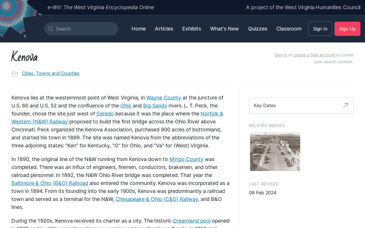
Kenova was founded in 1889 and incorporated in 1894. Its name blends Kentucky, Ohio, and Virginia. It nods to the city's spot at the state line beside the Ohio and Big Sandy rivers. Rail lines and river commerce drove the town's early growth. That background helps with an old deed. The deed may point to historic owners, tract descriptions, or street references instead of a modern number. It cannot prove a tract came from a railroad, though. It also cannot prove that a named district is a legal subdivision. The e-WV encyclopedia's Kenova entry covers the city's formation and population history in brief. Read the e-WV Kenova history entry. Do so before you lean on historic place names in a deed.
History points you toward the next record to pull. In the end, though, the recorded legal description and parcel identifier control the property search.
Kenova Addresses, ZIP Code, and City Limits
Kenova's ZIP code is 25530, but a mailing address alone proves nothing about city limits. Postal geography and municipal boundaries answer different questions. A neighboring property can share the city name and ZIP yet miss certain city services. A tax parcel may also carry a street address quite unlike the metes-and-bounds language in an older deed. A permit rule or ordinance can turn on jurisdiction. Check the parcel against an authoritative city boundary, or ask the municipal office. The statewide parcel viewer can locate a tract and copy a parcel link. But a visual boundary is not a survey. For a due-diligence file, record the address, full assessor ID, and deed reference. Also record the source used to confirm municipal jurisdiction. This matters most in the river corridor, where the Ohio, the Big Sandy, state lines, and local address habits all converge. Never infer jurisdiction from a map label. Confirm Wayne County in the assessor record itself.
Finding a Kenova Parcel in Wayne County's Roll
MapWV assessment results label parcels with a county and district. Then come map and parcel components, plus any suffix or special-ID positions in the full identifier. The search screen accepts an owner, physical address, street, or parcel number. An address search can return several matches. Compare the physical address, district, map, parcel, and acreage against a deed or tax notice before choosing one. Treat the county and district fields as the first cross-check. Wayne County's state county code is 50. Copy parcel digits exactly, leading zeroes and any decimal-style suffix included. Trimming or reformatting the number invites errors. A tax bill, assessor card, and map viewer may display the same components differently. When a Kenova property lacks a solid street address, a deed's legal description or a tax-map reference opens a second search path. The county parcel-map guide explains what map outlines can and cannot establish.
Kenova Neighborhood and Subdivision Names in the Record
No Kenova subdivision name or recorded plat series can be offered here as a reliable search shortcut. The city has no published plat list. Riverfront, rail-side, and historic descriptions still help a researcher get oriented. They are not legal descriptions. A deed is what counts. The subdivision name and lot number written into that deed remain the terms that match a Kenova parcel in the official record, and the table reflects that limit rather than treating broad geographic labels as unverified plats.
| Neighborhood / Subdivision | Era | In the Records |
|---|---|---|
| Named recorded subdivisions | Not verified | Search the parcel's deed legal description and ask the Clerk for its plat reference. |
| River and rail area labels | Historic context | Useful orientation only; not a confirmed subdivision or parcel boundary. |
| Kenova street address | Current locator | Use with the Wayne County district, map, parcel, and suffix fields. |
Start with the deed's exact words. When a deed names a subdivision, lot, or plat-book reference, type those terms into the Wayne County Clerk's index and open the matching entry. Then compare the lot description against the assessor card. Use the address or parcel ID instead when no plat name appears. The Clerk can help locate an instrument when you supply the parties' names and an approximate recording period, and the Wayne County parcel-map guide explains map layers and boundary limits.
Following a Kenova Deed and Ownership Chain
An assessor's owner field is only a lead. The recorded deed is where a Kenova transfer is actually documented. Search the Wayne County Clerk's Document Inquiry by a known owner or grantee name, then open the instrument that appears to cover the parcel. Check the legal description next. It must match the Kenova lot or tract, because names repeat, one deed can convey a partial interest, and a single instrument may bundle several properties.
Build the chain backward from the latest transfer. Record each grantor, grantee, instrument type, date, book or instrument reference, and legal description as you go. Chains often include survivorship, estate, trust, or entity instruments. An index hit alone never proves title is clear. For older deeds, West Virginia's Statewide Preservation Project marks Wayne County digitization complete, though the statewide entry does not state the earliest volume digitized.
The online index can go down at times. If a search fails, call the County Clerk at 304-272-6362 or request a targeted record by names, parcel, document type, and approximate date. Mail works too. The Clerk's office sits at P.O. Box 248, Wayne, WV 25570.
Kenova Assessment and Tax Timing
The Assessor's parcel record and Sheriff Tax Bureau's bill are related but distinct. Assessment occurs annually as of July 1, and the name, value, and mailing details in the annual tax file can be fixed for the following tax year. A deed recorded after that snapshot may appear before the new owner is reflected in the next tax account. A buyer should therefore search by both the current owner name and the parcel or map reference when checking a bill.
The WEBTax screen is organized around year, ticket or account, owner name, paid status, billed amount, first and second installments, total due, map-and-parcel description, and billing address. The live endpoint did not respond during research, so its current filters and availability should be checked directly. The Tax Bureau can be reached at 304-272-6723. Do not assume a sale automatically transfers a paid bill or updates the mailing address immediately.
For assessment fields and the statewide valuation rule, use the separate Wayne County property-value guide. It explains why a tax assessment differs from a transaction price.
Kenova Building Permits and Local Records
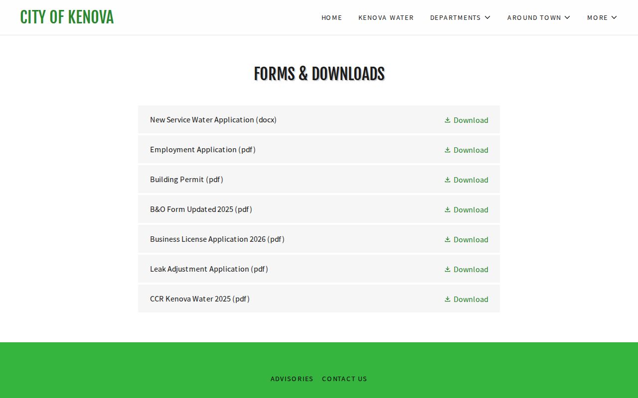
Kenova's official forms page includes a building-permit download. The city publishes no searchable permit-result index and no complete historic permit archive. No retention period is stated either. Downloading an application does not mean a permit was approved or the work was inspected. For a property with an addition, conversion, or major repair, ask the city what file search exists and what address or owner details it needs.
The forms page is the right starting point. It will not show every procedural step. Call before submitting. Confirm current fees, required plans, zoning review, and whether a county floodplain or building-permit step also applies.
Everything official lives on the city's site. Open Kenova's official forms and permit page to view the current municipal materials.
Older permits may still exist. Ask the city whether they can be searched by address, parcel, or former owner before treating a current application form as a property history.
Map and Historic Context for Kenova Parcels
The statewide parcel viewer does a lot. It can display an address or parcel, show a flood-zone layer, highlight a selected tract, copy a link, and download a KMZ. That helps along Kenova's river corridor. It also lets you frame a precise question for the county mapping office. It is not a boundary survey. Map geometry can lag behind the latest legal description, and deeded acreage always controls over a rough figure calculated from a displayed outline.
Historic resources are a separate layer. West Virginia's SHPO viewer helps locate historic-resource information. A map result there does not mean an alteration is approved or a property is individually listed. Ask before planning regulated exterior work, and direct detailed questions to the preservation office or local authority.
Use maps to identify the parcel. Then return to the deed and assessment records for the legal and tax details. That cross-check matters most where a lot sits near a riverbank, roadway, rail corridor, or municipal edge.
What Kenova Property Records Show and Their Limits
A Kenova parcel shows up in several places at once. Wayne County property records may list a recorded deed and assessor ownership fields. They may also show an appraisal figure, tax-account details, and plat or map references tied to the parcel number. City permit files, where they exist, sketch out municipal procedures for the same address. None of that adds up to a title opinion. A parcel viewer outline is not a survey. A tax roll value is not a market appraisal. Treat the deed records, the tax bill, and the GIS map as a research trail rather than proof of anything.
Lawful use. Use Kenova property records for property research, due diligence, and civic transparency. Do not use owner information to stalk, threaten, or harass a person.