
How to Search Wayne Property Records
Begin at the county assessment portal with a Wayne street address. Match the candidate parcel against its deed. Check its tax account and map location too, before trusting the result. Older research usually needs more. A prior deed may carry a former place name. It may instead list a metes-and-bounds description rather than a street. Wayne County holds the core property record set. The town still serves as the county seat. Planning a construction or land-use change? Confirm the municipal zoning process first, then check any separate county permit or floodplain review.
- Search MapWV Assessment by current address, owner, or parcel and choose Wayne County.
- Copy the full district, map, parcel, and suffix details from the result.
- Use the County Clerk Document Inquiry to find the deed that contains the same legal description.
- Compare the tax account year and parcel description, then orient the property in the statewide viewer.
- Ask the Town of Wayne about zoning and project-review records; contact the county for county permit or floodplain questions.
The Wayne County search guide covers the assessment portal. A separate former-owner guide explains how to work backward through recorded deeds and older place names to trace ownership.
Where Wayne Property Records Are Kept
Different offices hold different pieces. The Wayne County Clerk records deeds and other instruments. The Assessor keeps the property roll and appraisal fields. The Sheriff Tax Bureau handles property-tax accounts. State mapping tools add parcel context. Town of Wayne zoning and planning records sit outside those county systems. The town's planning materials describe how to apply for a zoning permit, but permit results are not searchable online; county building and floodplain reviews are separate too, so check both for a specific project.
Wayne County Records (deeds, taxes, parcels)
County record systems cover Wayne town addresses as they do other properties in the county.
Town of Wayne Zoning
Planning materials call for a zoning application and supporting site information. Contact the Town for the current form, fee, meeting schedule, and status of an existing permit.
No searchable permit-result portal was verified in the reviewed sources.
Wayne's County-Seat History and Older Deed Names
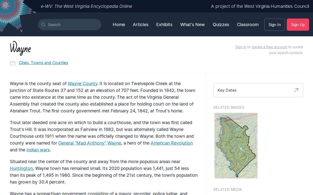
Wayne County was formed in 1842 while the area was still part of Virginia, and it joined the new state of West Virginia in 1863. The county seat went by several names. Trout's Hill, Wayne Courthouse, Fairview, and Wayne all appear in its history. Fairview was incorporated in 1882. The name Wayne arrived in 1911. Old labels linger in the deed books. Those variations can help a researcher recognize a historic reference, but they do not prove a parcel sat at a modern street address.
The e-WV Encyclopedia traces the community's county-seat role and its renaming over time. Use it to understand the place-name changes, then follow an individual property through its legal description and recorded instruments. A town history is context, not ownership evidence.
Read the e-WV history of Wayne as the county seat.
Treat an old place name carefully. When an instrument names Fairview or Wayne Courthouse, compare its date, parties, and boundary calls with successor deeds rather than assuming the name marks the present site.
Matching Historic Wayne Place Names to Today's Parcel
A deed recorded under an older town name may still describe land inside today's Wayne. Build the link through parcel history. Note the document date. Search grantor and grantee in the Clerk index under every version of the place name. Compare the legal description in each transfer. Map references and adjoining owners help when no street number appears.
Renaming did not move a boundary. Never assume every Fairview or Trout's Hill mention points to the same lot. A name can mark a settlement, not a lot. It may even come from a party's mailing address. If the index is inconclusive, request the underlying instrument or a targeted clerk search with names, a date range, and a parcel clue.
Keep a short source log. Record the reference, date, parties, and stated acreage. Note why you believe it is the same tract, so an old name never becomes an unverified link in the chain.
Fire History and Gaps in Wayne Property Research
Wayne burned badly more than once. Historic accounts report major fires in 1905 and 1921. Those fires matter when you research older buildings or local business history. Neither event, however, is tied to a confirmed loss of county deed volumes or a specific deed-index gap. A missing building record alone proves nothing.
Apparent gaps deserve a closer look. Search later deeds for recitals of earlier title, and check probate or court records if inheritance is involved. Ask the Clerk whether the referenced volume or instrument is still available. The Statewide Preservation Project reports Wayne deed digitization complete, but its summary gives no exact coverage dates. Court order books and deed books are different record series.
History explains why a search widens. It settles nothing about ownership. Only an instrument-level search of the recorded instruments shows what was actually filed for the parcel.
Wayne Addresses, Parcel IDs, and Municipal Limits
An assessor's situs address helps you find a parcel fast. A deed's legal description is what actually defines the land conveyed. Street names and numbers change over time. When that happens, search by owner, a neighboring parcel, or the map-and-parcel ID from an older tax record. Wayne's long name history adds a wrinkle. A historical place reference and a current town address can describe the same general area in different words. That overlap does not prove they mark the same lot.
County and town lines divide up the responsibilities. A county assessment result will cover a Wayne address, but it cannot tell you whether a particular town zoning rule applies. If a project turns on zoning, confirm jurisdiction with the Town. Check any county building or floodplain review on its own. A postal address is never a boundary determination.
The full assessment ID bundles county, district, map, parcel, suffix, and special-ID parts together. Keep every leading zero and suffix intact. Then cross-check the parcel in the statewide viewer against the deed's legal description.
Wayne Neighborhood and Subdivision Names in the Records
No named Wayne subdivision stands established here as a basis for a neighborhood list. Nor does any recorded town plat series. The community's names have shifted over the years. An unverified label could send a property search astray. Used as a legal subdivision, it might point to the wrong parcel entirely. The table below marks what is and is not established. It also points to safer anchors. An exact deed citation holds up far better in the deed records. So does a lot and block. A parcel ID works just as well.
| Neighborhood / Subdivision | Era | In the Records |
|---|---|---|
| Named Wayne subdivisions | Not verified | Do not assume a historic settlement name is a recorded plat. |
| Lot, block, or plat citation | Document-specific | Copy exact wording and ask the County Clerk for the cited instrument. |
| Wayne assessor parcel ID | Current locator | Use county, district, map, parcel, suffix, and special-ID fields. |
A deed with a lot, block, or plat-book citation gives you the strongest lead. Search that exact reference. Confirm it in the later conveyance. Without one, use the parcel ID. The assessor card then lets you compare the metes-and-bounds calls with the map, and the Wayne County parcel-map guide explains why the visual outline is an orientation aid rather than a legal survey.
Tracing Wayne Deeds Across Name and Date Changes
Start with the Wayne County Clerk's Document Inquiry to find the most recent deed. Then trace its grantor back through earlier instruments. With an older Wayne property, search the parties. Also search the historical terms in the legal description, not just the current address. Note each book or instrument number, the dates, grantor and grantee. Record the instrument type, acreage, and every boundary call along the way.
Wayne County's deeds fall under the Statewide Preservation Project. The project lists deed digitization as complete, though it does not name the precise beginning volume. FamilySearch holds a wills and deeds collection reaching into the 1700s through 2017 across multiple counties. Its Wayne County law order books from 1843-1859 belong to a separate court series. They cannot stand in for a deed chain. View the West Virginia Statewide Preservation Project for the Wayne County digitization listing.
When a historical name or a possible fire-related gap makes the index difficult, ask the County Clerk at 304-272-6362 for a targeted search. Share the known names and approximate recording period. A chain of references is a research aid, not a title opinion.
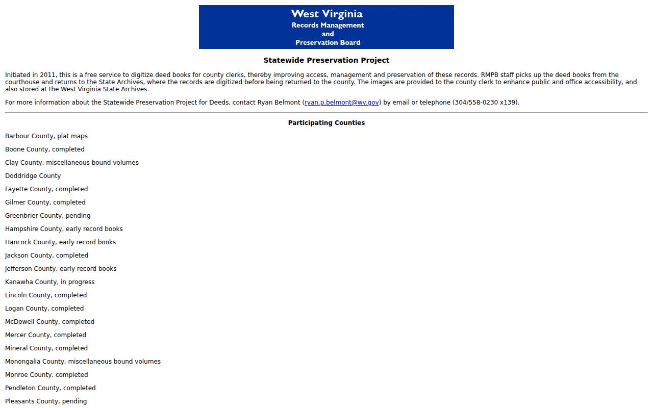
The recorder has not named the oldest digitized Wayne deed.
Wayne Assessment and Tax Records Have Different Dates
The county assessment process runs on an annual July 1 date. Owner, mailing, and value details carried into a tax year may reflect that fixed snapshot. They may not reflect a later transaction. A just-recorded Wayne deed can appear in the deed index first. The tax account may not show the new owner yet. Compare the instrument date with the tax year. This matters when a buyer is trying to understand an upcoming bill.
The assessment result displays land, building, and total appraisal fields. Parcel class, tax class, and other identifying details appear there too. The Sheriff Tax Bureau's WEBTax headings cover billing year, ticket, owner, and payments. They also include billed amount, installment totals, parcel, and mailing information. Each service answers a different question. A value is not the amount due. A paid status does not establish ownership.
Contact the Assessor with a parcel or value question and the Tax Bureau at 304-272-6723 about a bill. The tax record guide explains the county payment lookup. The property-value page discusses the assessment ratio and value fields.
Town of Wayne Zoning and Permit Research
The Town of Wayne's zoning application asks for the lot and block or a metes-and-bounds description, plus the street address, proposed use, zoning district, and survey information. Planning guidance calls for a five-year plan. A project spanning more than two lots also needs a master concept plan. These are application requirements, not a searchable archive of issued permits. Permits are another matter.
Before relying on an older project file, ask the Town directly. Confirm the current ordinance, application form, fees, submission location, and review status. The ordinance file at its prior link is no longer reachable, so request the current version straight from the office. A dead web link proves nothing. A permit, zoning decision, or code record may still exist on paper even when nothing appears online.
County building permits and floodplain review can apply separately. Town zoning is only one layer. When work involves construction or land near a mapped hazard area, check both the town process and the county permit process.
Floodplain and Historic Map Layers Near Wayne
Wayne County offers a helpful service through its floodplain coordinator. A custom flood map can be prepared on request. Ask by email, fax, or mail. There is no charge. The county's building-permit page also cautions that a floodplain review can affect a project. Posted fee details sometimes conflict. Confirm the current requirement with the county office before filing an application or setting a budget.
For a first look at a parcel, two state tools work well. Wayne County property records benefit from the state parcel mapping layer. The SHPO historic-resource viewer adds its own historic layer. Both have limits. The historic viewer carries a boundary disclaimer. Statewide parcel geometry can lag behind changes in legal descriptions. Neither map settles a boundary or replaces a survey, a county flood determination, or a town zoning answer. Keep the map link and parcel number handy. Staff can then pull up the same tract quickly.
Open the West Virginia Historic Resource Viewer for a separate historic-resource layer.
For a flood status call or a project decision, contact the county or town office in charge directly.
What Wayne Property Records Show and Their Limits
Wayne County property records answer many questions, but not all of them. Recorded transfers appear in deed records, and assessor parcels list ownership and valuation fields. Tax account status and map references are there too. Town materials cover zoning and local land use. The county handles building or floodplain review. None of these records alone proves a clear title. A single document also fails to settle a precise boundary, a complete permit history, a current market value, or the final scope of a local approval. Take each question to the right professional or office.
Lawful use. Use Wayne property records for ownership research, due diligence, and public accountability. Do not use owner information to stalk, threaten, or harass anyone.