
Start a Wayne County Property Search
Pick your starting record by the key in hand. A street address is the easiest entry point. It works well for the WV Property Assessment Search or the WV Property Viewer. A person or company name can pull up more than one parcel. So district, map, and legal description matter when names repeat. A parcel number is the cleanest bridge. It ties the assessment roll, the map, the Sheriff tax account, and the deed index together. Wayne County records sit with different custodians. So no single screen answers every ownership, tax, and boundary question.
Use the assessor for the tax owner and appraisal fields. Use the County Clerk for recorded transfers and liens. Use the Sheriff for billed or paid taxes. Then compare the parcel on a map. A search result is a lead to a record, not a title opinion. If an address is old, incomplete, or sits outside a town boundary, fall back on the county, district, and parcel ID. That keeps the search tied to the same tract.
- Enter the street or owner in WV Property Assessment Search, then note the district, map, parcel, and full parcel ID.
- Open the matching result and compare the physical address, current owner, deeded acres, class, and land, building, and total appraisals.
- Use the name, legal description, parcel ID, or book and page to ask the Wayne County Clerk Document Inquiry for the recorded deed trail.
- Check tax year, ticket, map-parcel, description, and billing address through the Sheriff’s tax channel; a tax bill can lag a sale.
- View the same parcel in the statewide map, then request a deed, survey, permit file, or older volume from its custodian if the portal is incomplete.
Offices Behind Wayne County Property Records
Wayne County splits its land records work across separate desks. Title, assessment, tax payment, mapping, permits, and court cases each have their own custodian. The County Clerk holds the recorded side. Its Document Inquiry is advertised for deeds, marriage licenses, tax information, and other documents. The live search endpoint has been unreliable, though. Its index start year is not published. Request missing records from the clerk directly.
Wayne County Clerk
P.O. Box 248, Wayne, WV 25570
304-272-6362
Mon-Wed and Fri, 8 a.m.-4 p.m.; Thu, 8 a.m.-6 p.m.
Wayne County Assessor
620 Hendricks Street, Wayne, WV 25570
304-272-6349, real estate
Thu hours extend to 7 p.m.
Wayne County Sheriff Tax Bureau
P.O. Box 218, Wayne, WV 25570
304-272-6723
In-person and mail payments are accepted.
Wayne County Assessor Search Fields
MapWV's assessment search is the practical first stop for an everyday Wayne County parcel. Its modes include Basic, Appraisal/Sales, Advanced, and Prior Ownership. Street Name and Owner Name are separate inputs. District, full parcel ID, map, parcel, and sub-parcel can each narrow a broad result. The result table gives tax context. A click into the parcel detail adds building, cost, and appraised-value headings.
| Search input | Wayne County use | Pair it with |
|---|---|---|
| Street Name or Owner Name | Find a street list or parcels held by a person or entity | District and legal description |
| Full Parcel ID, map, parcel, sub-parcel | Target one tax parcel | County 50 and tax district |
| Legal description, deed book, page | Search when a modern street label fails | Recorded deed or plat |
| Appraisal, acreage, sale, building filters | Narrow a research set | Use as filters, not value proof |
The interface includes checkboxes for the legal description and the GIS parcel ID. Turn both on before searching. That builds a cross-reference list for deeds and maps. The MapWV assessment-field screen shows why a Wayne County property search can move from street and owner to deed reference, acreage, and appraisal.
Note: MapWV says a recent ownership change may not appear in the annual assessment file at once.
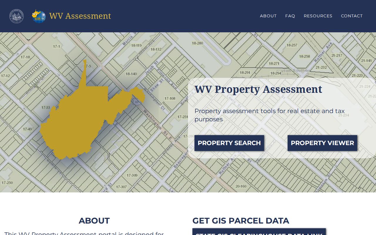
The WV Property Assessment landing screen shows both statewide entry points.
The parcel result and the deed still need comparing.
Six Parts in a Wayne County Parcel ID
West Virginia parcel IDs can carry a county code, district code, map number, parcel prefix, parcel suffix, and special ID. Wayne County uses county code 50. The six-part root ID does not always display the same way. A GIS ID omits the special ID. CAMA/IAS can omit the county code. An abbreviated result may show only district-map-parcel or map-parcel.
One sample result lists root ID 50080027000900030000, county 50-Wayne, Lincoln District, map 27, and parcel 9.3. Treat it as a sample, not a format promise. Carry the full value into another portal. Copying only the final digits invites mismatches, and a deed's legal description still controls what land was conveyed.
- Parcel ID
- The assessor and map key for a tax parcel.
- Situs
- The physical place where the land or building sits.
- Legal description
- The recorded description of the land conveyed.
The same ID lines up MapWV, the tax inquiry, the viewer, and a Clerk request. Map labels and deeds sometimes disagree. Then ask mapping staff about the split or indexing.
Why July 1 Can Leave an Old Owner
West Virginia assesses property each July 1. The Sheriff's Tax Bureau warns that the file is frozen on that date. Name, value, and mailing address lock in for the next tax year. Buy after the cutoff. The bill may still carry the seller's name. The bill shows who the file addresses, not by itself who took title once the file was set.
For a closing near or after July 1, check the newest recorded deed. Call the Tax Bureau with the ticket or map-parcel. Payments are accepted in person or by mail. The assessment portal also updates annually, so a recent change may take time to appear there. See the Wayne Sheriff Tax Bureau tax-cycle warning before relying on the name on a bill.
Record Sets for Wayne County Property
Wayne County property records are divided by what they prove and who keeps them. The assessor describes each parcel for the tax roll. The County Clerk records an instrument that transfers or encumbers land. The Sheriff tracks annual taxes. A map viewer adds geographic context. Permit, court, and probate records supply useful history without replacing the deed or assessment record.
| Record Type | What It Documents | Kept By | Access |
|---|---|---|---|
| Deeds and releases | Transfers, loans, liens, easements, plats | Wayne County Clerk | IDXSearch advertised; start year and copy fees not confirmed |
| Assessment and land book | Owner, parcel, acres, class, land/building/total appraisal | Wayne Assessor / MapWV | Free annual web search and office assistance |
| Tax bill and payment | Year, ticket, amount due, billing address, map-parcel | Sheriff Tax Bureau | WEBTax and mail or in-person assistance |
| GIS parcels and flood layers | Parcel geometry, address, flood and delinquent-land context | WV Tax Division / mapping office | Free viewers and mapping contact |
| Permits and court cases | Construction, floodplain review, foreclosure or title disputes | County or municipal office; WV Judiciary | Portal where available, otherwise custodian request |
Start with the deed. It names the instrument and the parties to it. The assessment then shows the tax owner and the appraisal, while the Sheriff's account carries the current tax bill. For deeper steps on each of those searches, the Wayne County deed records and property tax records pages cover the ground.
What Wayne County Document Inquiry Lists
The County Clerk advertises a Document Inquiry database covering deeds, marriage licenses, tax information, and other documents. The listing gives few specifics. No start year or search fields are published. Treat it as one online route. When the portal will not load, the Clerk's office remains the dependable path.
Several clues narrow a deed search. Grantor and grantee names, recording date, and the legal description all help. A book/page or instrument number helps too. The instrument menu itself is broad. Warranty and quitclaim deeds sit beside trustee and estate deeds, deeds of trust, releases, liens, plats, easements, rights-of-way, mineral documents, tax deeds, and corrections. Test terms rather than trust a fixed menu.
Copies come certified or uncertified. Say which kind and how to deliver it. The county posts a 2023 recording-fee sheet, but the Clerk should confirm any copy fee before payment is sent. The Wayne County Clerk page gives office contacts plus links to search, probate, and marriage forms.
Wayne County Parcel Viewer Layers
The statewide WV Property Viewer is a good next step. An assessor result may point to a specific tax parcel there. Its on-screen controls include Address, Parcel, and Flood Zone. Clicking a parcel can display its ID along with a detail panel. That panel may list an E-911 address, owner, and physical address. It may also show delinquent status, flood information, building details, and cost values. A link to the assessment report appears there too.
A Highlight tool can isolate the chosen parcel. Export as CSV and Download KMZ let users take the data with them. The Wayne County ArcGIS viewer carries an informational tax-map disclaimer. No map here establishes a title line, a survey corner, or a zoning decision. It does not settle an appraisal either. Rely on the deed and a licensed survey when a legal boundary is at stake.
The WV Property Viewer page displays the address, flood, identify, and export controls. These controls are available for Wayne County parcels.
Carry the full parcel ID to the record custodian.
Note: The visible statewide controls do not document an automatic adjacent-parcel or buffer tool.
Flood Maps and Wayne County Permits
Floodplain records often belong beside a parcel search when an owner or buyer weighs a site. Wayne County keeps the roles combined. The Building Permit Officer also serves as Floodplain Coordinator. Designated floodplain projects need elevation or flood-resistant certification. The office will email, fax, or mail a property flood map at no cost on request, a helpful fallback when a viewer layer will not settle a site-specific question.
Applications are available at the courthouse or by phone. Permit work includes new homes, mobile or modular homes, and other development. Well construction and sewage disposal take separate permits. The county's posted fee details conflict with an older sentence on the same page, so confirm the current charge with the officer before relying on a figure.
History requests move faster with specifics. Give the situs address, parcel ID, and date. Say whether the file concerns floodplain, septic, well, mobile home, or ordinary construction. Wayne County building-permit information identifies Stephen A. Brown at 304-272-6350 and sabrown@waynecountywv.org.
Wayne County Deed Books in Preservation
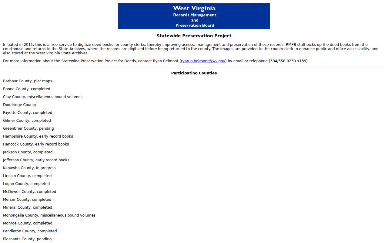
Wayne County appears on the West Virginia Statewide Preservation Project list as complete for deed-book digitization. The pipeline is straightforward. Volumes travel to the State Archives for imaging. That is a concrete route for older deeds. The listing stops short of detail, publishing no Wayne-specific volume inventory or first online index year.
Wayne County formed in 1842 from western Virginia territory. FamilySearch catalogs Wayne law-order books from 1843 through 1859, filmed from courthouse originals. A separate West Virginia Wills and Deeds collection spans multiple counties and dates from the 1700s through 2017. Image access can vary, so ask the Clerk which book, index, or film covers an instrument before trusting a digitized collection as complete. The Statewide Preservation Project page lists Wayne as completed.
The listing omits the deed volumes' exact year range.
Old Wayne Names in Property Records
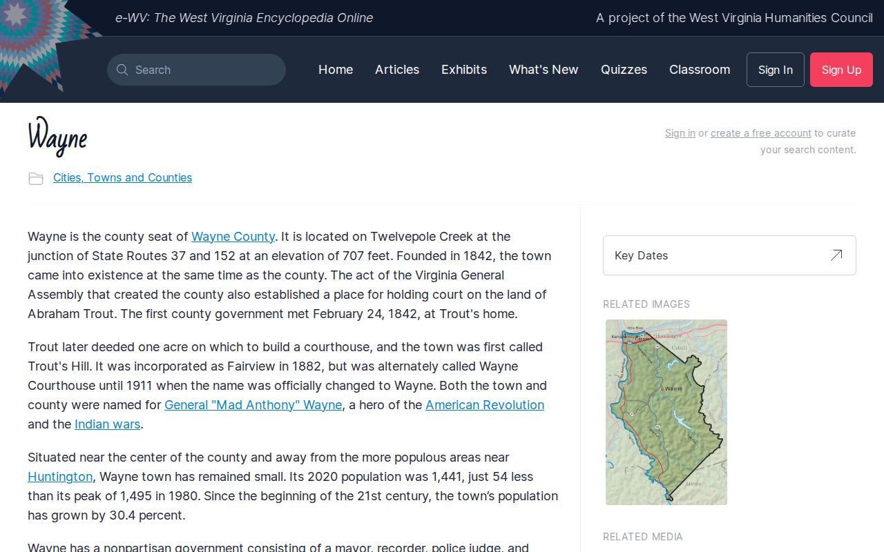
Old deeds in Wayne County rarely say "Wayne." The town began as Trout's Hill, later served as Wayne Courthouse, incorporated as Fairview in 1882. It adopted the name Wayne in 1911. So a deed, directory, or newspaper notice from the 1800s may carry any of those labels. The county's first government meeting happened even earlier, at Abraham Trout's home in February 1842. Keep every name in mind when tracing an old parcel.
Two fires complicate the record picture. Historical accounts describe a 1905 fire in town. They also describe a 1921 courthouse fire during the courthouse-seat conflict. No archival finding aid establishes what either blaze did to the deed books. Treat the fires as a research lead. They are not proof that a land-record series was destroyed. Ask the Clerk about known gaps before concluding anything vanished.
Population swings matter too. Wayne County counted 7,852 residents in 1870. It peaked at 46,021 in 1980. The e-WV county entry reports 38,987 for 2020. That growth helps explain the shifts. Street labels and parcel references differ between old and current property records. The e-WV Wayne history entry documents the town-name sequence and the county-seat context.
Treat the history as a clue, then confirm each transfer in a county-held deed or probate record.
Wayne County Property Cases Since 1999
Property fights land in circuit court. Foreclosure, quiet title, partition, lien enforcement, and boundary disputes all show up on those dockets. WVPASS opened public access in 2025. It reaches circuit documents back to 1999 across all 55 West Virginia counties. Registration costs nothing, though downloaded documents carry a small charge. Search fields can vary. So lean on county and civil-case context, then verify any land interest against the recorded instrument itself.
The statewide magistrate search works differently. It is free and requires no registration. You can query by first name, last name, or case number. It returns up to 30 records. A result may list filing date, charge, disposition, and a document list. Magistrate documents themselves come from the county clerk. A docket entry is only a lead. It does not prove a parcel lien exists or that a sale closed. The West Virginia court-record access page explains both routes.
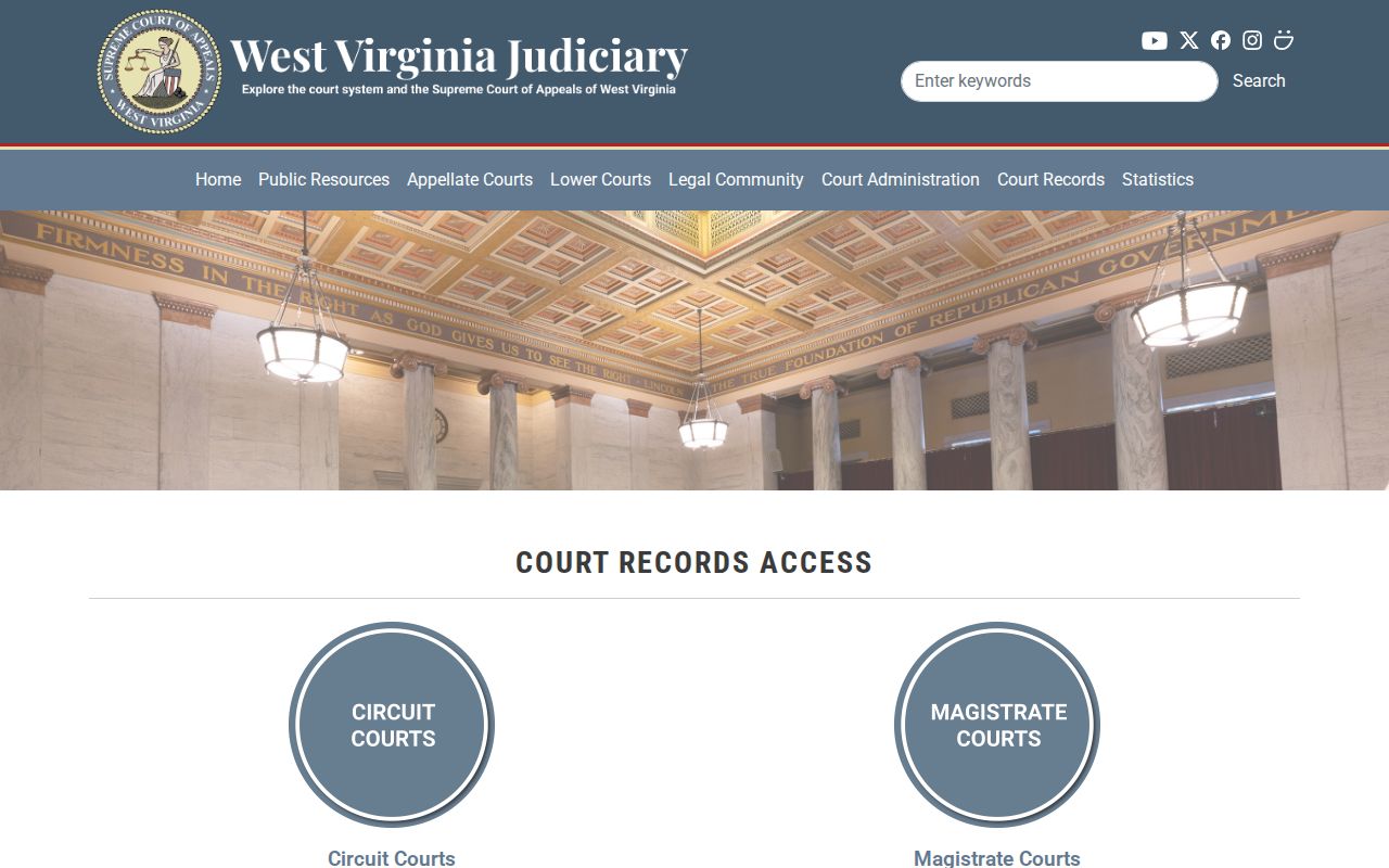
Use a court entry to locate case papers. Then check the matching deed, lien, or release in the County Clerk's records.
Request Wayne County Records Offline
When a web form fails, go to the office that keeps the record. A written West Virginia Freedom of Information Act request should describe the records with reasonable specificity. It should go to the public body that created or maintains them. The law calls for a response as soon as practicable. That response is due within five days, excluding weekends and legal holidays. A custodian may provide copies, set an inspection time, or deny the request. A denial must come in writing with reasons. Fees may cover actual reproduction cost, not search or retrieval labor.
Older land instruments need detail. Give the Clerk the grantor and grantee names. Include a date range, the parcel ID, the legal description, and the book and page if known. Assessor errors go to the Assessor or mapping staff with a deed or survey reference. For tax bills, bring the ticket or map-parcel number to the Sheriff. Wayne Public Library holds county family-history books, census material, and cemetery registers. It is not a deed custodian.
West Virginia Code Chapter 29B and the Secretary of State request guidance explain the public-records route from both angles.
Limits of Wayne County Property Records
Each official record does a different job. A tax entry, a recorded instrument, and a parcel map can be compared side by side. None stands alone. Statewide and local map disclaimers state that geometry is informational. It is not a survey, appraisal, zoning decision, or title search. The assessor's annual file can lag behind a recent sale. An index entry may lack a complete instrument image. For a transaction question, get a County Clerk copy or a qualified title review.
Lawful use. Use Wayne County records for property research, civic review, and due diligence. Do not use owner information to stalk, target, or harass anyone; a map is not a legal survey and a search is not a title opinion.