
Reading Wayne County Parcel Map Layers
The WV Property Viewer gives you three lenses: Address, Parcel, and Flood Zone. Parcel outlines appear once you zoom in far enough. One click on a tract opens an identification popup. Wayne County also runs a local ArcGIS parcel viewer built from plats, deeds, and property records, though its stated purpose is informational or tax-map use only. Keep orientation tools and records that prove a legal interest in separate mental boxes. The table of layers helps you do exactly that.
| Layer | What It Shows | Use |
|---|---|---|
| Parcels | Tax parcel geometry and ID | Locate the subject and nearby tracts |
| Address | Physical or E-911 location search | Start with a house or street |
| Flood Zone | Effective and advisory flood context | Verify through flood office or FEMA source |
| Delinquent Lands | Nonentered or delinquent tax parcels | Distress research; viewer says weekly updates |
| Highlight and identify | Selected parcel popup and detail link | Read ID, owner, and assessment context |
| CSV / KMZ exports | Tabular results or geographic export | Save a review copy, not legal evidence |
Open a tract and the detail panel can show delinquent status, community, E-911 address, flood data, owner of record, physical address, building details, cost values, appraised values, and a link to the assessment report. Local geometry sometimes lags a deed or survey update. Treat the parcel map as a tax reference. When legal precision matters, the recorded description and a survey still govern. The WV Property Viewer displays the full set of controls a Wayne County map user can work with.
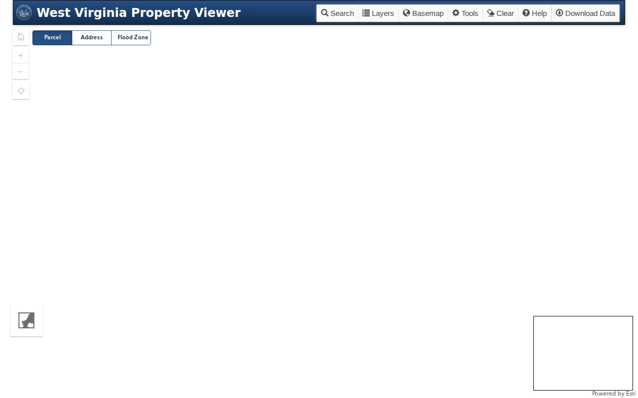
Its tools help you find a tax parcel and save a view. Deeds and surveys still answer boundary questions.
The statewide viewer also supports address and parcel searches. It offers a flood-zone layer, parcel highlighting, a copy-link control, and CSV or KMZ exports. Sharing the same screen with an office becomes simple. Remember that an exported outline is still just map geometry. The Delinquent Lands layer is reported to update weekly. Check the live notice and the tax account first. Then treat any display as an auction or a title transfer.
Find a Wayne County Parcel by Address
Start in Address view when you know the physical location. Zoom until parcel outlines appear, then select the tract. Save its full ID and E-911 label before moving on. If the address will not resolve, go back to MapWV Assessment and try a street-name, owner, map, or parcel search. Wayne County ZIPs and mailing cities can cross tax or municipal lines. Confirm the district before assuming a map hit belongs to the town you expected.
- Open the WV Property Viewer and search the address or parcel.
- Zoom until parcel geometry is drawn and use identify/click to select the candidate.
- Record the county, district, map, parcel, E-911 address, and displayed owner details.
- Compare the parcel ID and legal description in MapWV Assessment and the Clerk’s deed trail.
- Parcel number
- The assessor and map reference for a tax tract.
- Plat
- A recorded map that lays out subdivision lots.
- Lot and block
- A description that points to a recorded plat.
- Metes and bounds
- A land description using directions, distances, and boundary calls.
- Easement
- A recorded right to use a defined part of land.
Six Parts of a Wayne County Parcel ID
West Virginia builds a parcel ID from up to six parts: county code, district code, map number, parcel prefix, and parcel suffix. The sixth part is the special ID. Wayne County's code is 50. The root ID can carry all six. A GIS ID may drop the special ID, and CAMA/IAS may drop the county code. Short map labels show either district-map-parcel or just map-parcel.
Carry the full assessor ID whenever you move between the assessment search, the viewer, and the tax account. Carry it to a deed request too. One sample result reads Wayne County, Lincoln District, map 27, parcel 9.3. That is a single example, not a county-wide format. Wayne mapping sources publish no city prefixes for Kenova, Ceredo, or Wayne. So a city name alone cannot fill in a missing map range.
Note: The parcel ID ties tax and map screens together, while a deed’s legal description names the land conveyed.
Deeded Acres and Wayne County GIS
The statewide viewer separates deeded acres from calculated acres. Calculated area is an estimate drawn from map geometry. Deeded acreage comes from the land record and controls under statewide map procedures. Gaps can stem from an old description, an unposted split, or geometry awaiting an update. Such a gap is a cue to inspect the deed and survey, not to treat one screen as a new boundary.
West Virginia cautions that paper-to-digital geometry may lag several years. Tax-map revisions for transfers from July 1 through June 30 are due by February 1 of the next calendar year. Wayne mapping staff can review a correction request. Include the parcel ID plus deed or survey support. The local office lists its mapping phone as 304-272-6366.
Flood Layers for Wayne County Parcels
Flood Zone view offers a first screen for effective 100-year and advisory zones. Confirm any flood information with the official flood source. Do this before a purchase, permit, or insurance decision. Wayne County's Building Permit Officer doubles as Floodplain Coordinator. That office will email, fax, or mail a property flood map. There is no cost on request. It is a handy fallback when the viewer gives only broad context.
For a permit-history request, provide the situs address, parcel ID, and approximate work date. Also say whether the question involves a floodplain, well, septic system, mobile home, or ordinary building project. The county page's fee lines conflict. Call the officer to confirm charges. A flood layer can flag a concern. It cannot certify elevation or settle whether a structure meets a rule. The Wayne County building and floodplain permit instructions name the office. They also give its no-cost map request path.
Wayne County Plats and Legal Descriptions
Plats are recorded land documents. A viewer only helps you find the number. In Wayne County, the County Clerk's index is where you ask for a subdivision map, lot-and-block reference, easement, replat, or vacation instrument. Legal descriptions take two forms. Lot-and-block points to a recorded plat. Metes and bounds uses directions, distances, and boundary calls. A deed often shows a street address alongside the description that actually controls ownership.
No verified subdivision name lists or book-and-page references exist for the main towns in Wayne County. Ask the Clerk or mapping office to search by the legal description instead of inventing a neighborhood label from a road or landmark. The deed-records path explains the land instrument side of that search.
Download Wayne County Map Data
The WV Property Viewer offers Export as CSV, Copy Link, Highlight, and Download KMZ. Each button does a different job. The State Data Clearinghouse posts statewide surface and mineral tax-map products as images or geodatabases, refreshed yearly. West Virginia law lets you download digital surface maps and GIS files at no charge. Export options on the Wayne County ArcGIS layer vary. Check the layer page before planning any data pull.
CSV preserves rows for review, while KMZ saves a geographic selection for mapping software. Neither export is a certified map. Keep the source, date, full parcel ID, and legal description with any exported file. If acreage or linework conflicts with a deed, contact county mapping staff rather than editing the file as if it were an official parcel. The WV GIS Technical Center runs the state clearinghouse.
The clearinghouse supplies map data; verify Wayne export options.
Historic Places on a Wayne County Map
The West Virginia SHPO viewer layers architecture, National Register, and cemetery data on one map. It can flag a historic lead near a parcel. Its boundaries are approximate. It is not a legal designation map. Confirm any status with the official steward, then pull the recorded plat or deed for parcel context.
Address search works in the viewer. A hit can add history to a Wayne County property search, especially where older street names or town boundaries differ from current mapping. Treat results as a clue for a local archive or preservation office, not as a parcel survey or zoning record. The WV SHPO map hosts those cultural-resource layers.
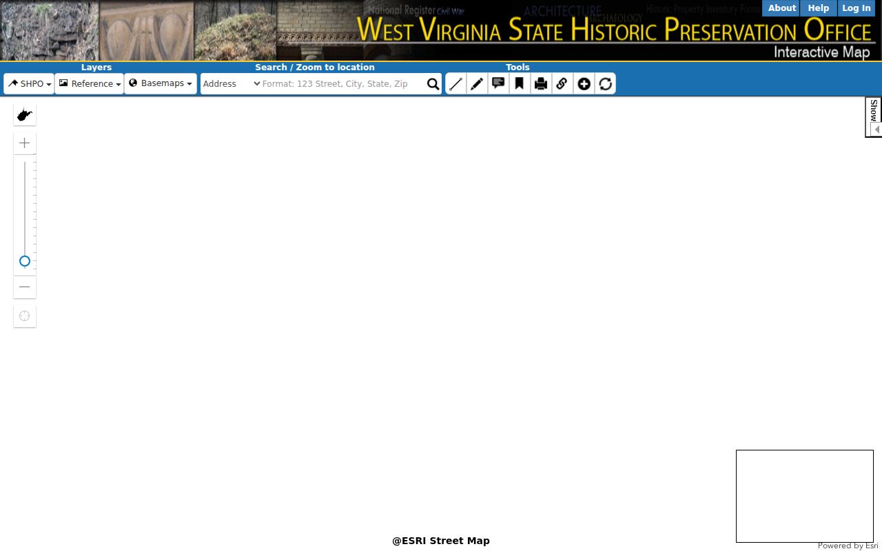
The historic layer can guide a follow-up question without changing the legal parcel record.
Limits of Wayne County Parcel Maps
The WV Property Viewer and local ArcGIS site serve inventory and informational purposes. They are not title, appraisal, survey, or zoning tools. Geometry can lag years where linework is still paper-based. A recent transfer, split, road move, or survey can exist before any map line changes.
Not a survey. Wayne County parcel maps show a tax reference. Deeded acreage and the recorded legal description carry more weight than calculated GIS acreage; use a licensed surveyor for a boundary decision.